Showing posts with label 3. Quebec. Show all posts

Saturday, June 3, 2017

Day 14 - Amqui to Tide Head (near Campbellton, NB)

93.6 km - Total so far 1,049.2 km

RWGPS https://ridewithgps.com/trips/15036846
Relive: https://www.relive.cc/view/g12047356133

We got up early, did a bit of maintenance on the bicycles including a bit of a clean up and still managed to leave by 7:20. We left early because we aimed to reach Campbellton, N.B. more than 100 kilometers away.


As we near the end of the Experiment, Hélène can now lift both trailers.


Nice mural on the side of the local cinema in Amqui


Today's ride was mostly along the Matapedia River, a well known salmon river. We did not think there would be much to see except for trees (lots of those), much running water and the odd person standing waist deep in the water with the fly fishing rod. We saw at least a dozen of those people.

Pine trees waiting to be processed into lumber. Given the current conditions, this may take a while.


The view on the route, asphalt, water and trees.


This pedestrian bridge in Causapscal could use a face lift.


More Matapedia River scenery


In lieu of scenery, the happy travellers


Au Revoir la Belle Province


The Restigouche River. Québec on the left, New Brunswick on the right, split roughly down the middle

Reminded once more how unpleasant it is to be stopped on a small
bridge used by big trucks


Hello New Brunswick

I forgot to tell you how much fun we had today under mostly cloudy skies. You certainly have noticed on Relive that the ride was mostly downhill for the better part of 60 kilometers. It started raining pretty hard after we took the Hello New Brunswick picture. That seems to be our faith daily. It starts to rain hard when we are within 20 or so kilometers of our destination. We stopped in Tide Head, just short of Campbellton, cold and wet but happy with our day's progress.
Week 2 Summary: 


  • Reached the 1,000 km pedaled
  • Bye bye Quebec
  • Hello New Brunswick
  • New time zone
  • Video done


58.16 miles - Total so far 651.94 miles

Friday, June 2, 2017

Day 13 - Rimouski to Amqui

106.7 km - Total so far 955.60 km 


RWGPS:https://ridewithgps.com/trips/15012493
Relive: https://www.relive.cc/view/g12028767977

Our day can be summed up as follows: one third of the ride under sunny skies, one third under cloudy skies and the last one third, in the rain!

Our day was a lot more fun than the above would lead you to conclude. For most of the first third, we were either near the shore line on a bicycle path or on a very quiet road with little traffic. We did not have to get on Hwy 132 until kilometre 32. The terrain was flat and with a tail wind we were in Ste-Flavie in no time at all. In Ste-Flavie we turned right and headed inland again on Hwy 132.


'La Promenade de la mer' in Rimouski. Pedestrians are closest to the water.
As the bicycle path nears the boulevard, a barrier protects path users.

There are two of these viewing stand on La Promenade de la Mer
The post on the left of the far stand indicates whether the tide is rising or falling.

Black ducks bobbing in the water having breakfast

Quiet road part of La Route des Navigateurs

The Church in Sainte-Luce. There is a board walk lined with
sculptures, very impressive.
The ride inland was also a lot of fun. Most of the climbs were long and not very steep which made it easy to coast for a long time once you started down the other side. With the leg muscles we developed in Charlevoix, climbing the hills in this part of Gaspésie was a lot easier.


The church in St Moise. Dark skies as we had them during
the middle third of our ride.

As we rode towards our destination, the sky got even darker and we could see rain falling in the distance. Instead of pedalling into the rainstorm, we decided to hold up at the old train station in Sayabec. Next to the train station was an old artillery piece and a monument. The howitzer is German and was captured by the 27th Battalion, Canadian Expeditionary Force (CEF) near Vimy on 9 April 2017. The gun was used by the 4th Howitzer Battery and used against the Germans. It was given to the Town of Sayabec in 1920 by the Canadian Government. 

The real interesting bit is the Cenotaph next to the howitzer. The Cenotaph was a memorial to those who fought and died in World War One and given by the John Fenderson Company and the mother of Joseph Keable VC MM. a member of the 22nd Battalion (now the Royal 22e Régiment). To read the full citation for Corporal Keable, click here. The Cenotaph was updated with the names of Sayabec residents who were killed in action in the Second World War and Korea.

The Cenotaph in Sayabec.
Another solid day of cycling with 100+ kilometres to our credit. Tomorrow we leave the Province of Quebec and enter New Brunswick near Campbellton.

66.30 miles - Total so far 593.78 miles

Thursday, June 1, 2017

Day 12 - Rivière-du-Loup to Rimouski

106.1 km - Total so far 848.90 km 


RWGPS:  https://ridewithgps.com/trips/14990706
Relive: https://www.relive.cc/view/g12009529116

Last night we had a horrible thundestorm that caused us to be flooded out. The campground is built on the side of a hill and tenters like us are on the bottom flat part. All the water running off the side of the hill essentilly found its way under our tent. Click on the video and listen to what went on for a good 30 minutes. We were floating on the air mattress.


Trying to dry some of our stuff this morning.
We even had stuff in the dryer.


The bottom of our stove was inside the tent portico.
The silt mark is at 1.5 inches from the bottom

We stopped by this entranceway thinking nothing would happen.
The train came ten minutes later.
The original goal for today was St-Fabien at 70 km but given the small tailwind we decided to challenge ourselves and aim for Rimouski, 107 km away. The weather changed from cloudy to sunny to rain back to cloudy and so on and so forth for the entire distance. We had the rain coats off, then the rain coats on and off again. We finally decided to keep the rain coats come rain or shine. It was a bit warm at times but it saved us from having to stop to change wardrobe.

The terrain is so much easier to bicycle than Charlevoix.
Hélène is not wearing a rain coat for this picture!

Most of the day we biked inland in a narorw valley.
You can see the village of St-Simon in the distance
.

Nice long and easy downhill. You just let yourself go and are slowed
down as you start heading up the next rise. No need for your brakes.

The small island between the trees is in Le Parc Nationale du Bic.
There is a police car with radar waiting at the top of the hill.

The kid here waits for the bus in an ordinary Mercedes bus
and not a rocket

We got to Rimouski just in time.
All in all it was a very good day. We learned quite a bit about how to select your camp site to limit your chances of getting flooded. We also got to accomplish what is referred to as a 'Metric Century (100 km)'. A 'Century' on a bicycle refers to a distance of 100 miles (160 km). Maybe next time.


65.93 miles - Total so far 527.48 miles

Wednesday, May 31, 2017

Day 11 - La Malbaie to Rivière du Loup

63.1 km - Total so far 742.8 km  


RWGPS: https://ridewithgps.com/trips/14966802
Relive: https://www.relive.cc/view/g11988099474

The one day of rest really paid off and we were on the road by 7:22 am. We had a nice warm up climb out of La Malbaie and followed that with a more robust climb towards St-Fidèle. We new of the climbs at St-Fidèle having been there on a past Grand Tour in 2013. With the wind to our back, finally after nine days, we felt this would be a fun and challenging ride to St-Siméon and the ferry.


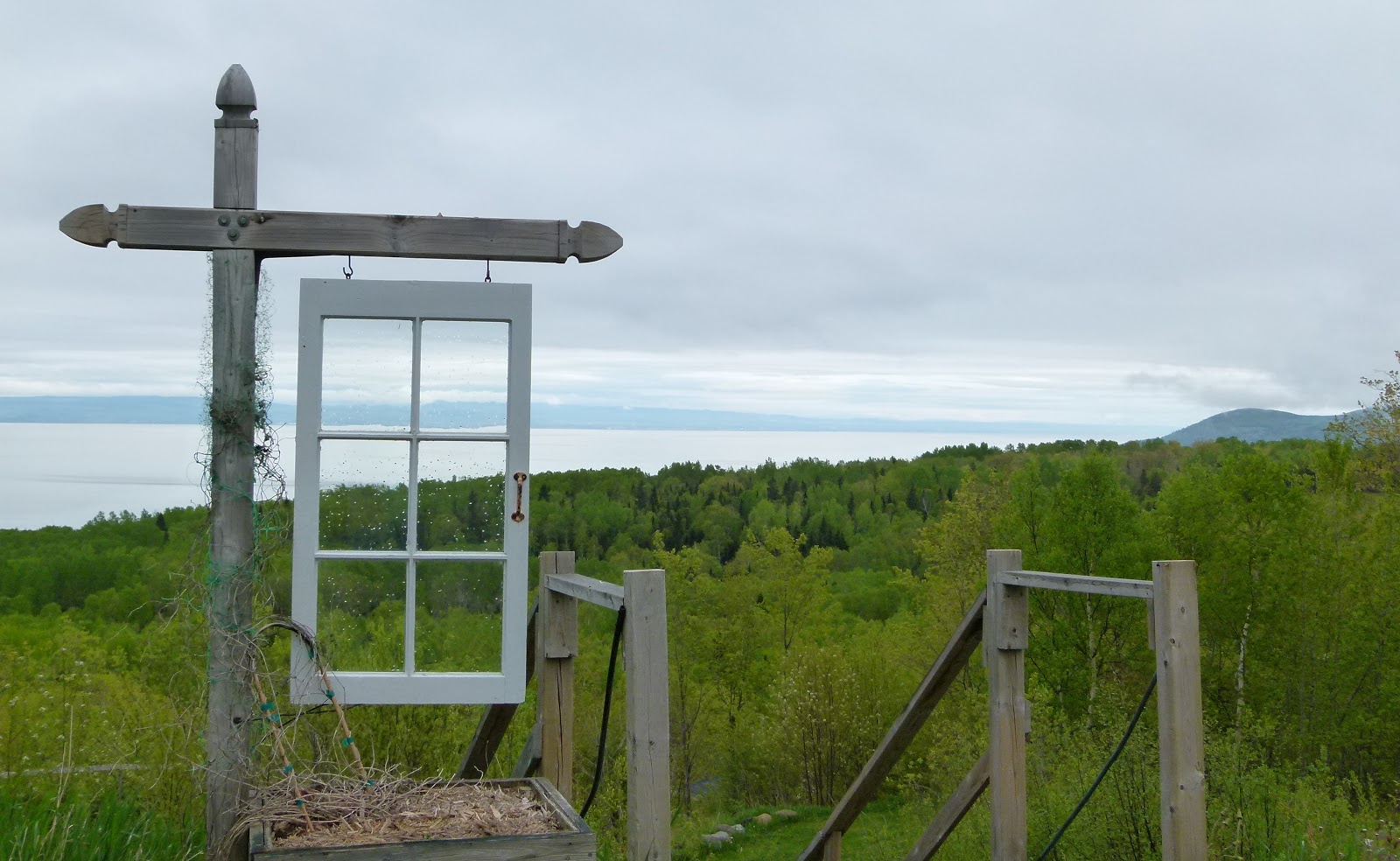
A last look back at La Malbaie

Having fun getting to the top of the climb, 
nice and steady does it


We took Hélène's bike out of the support vehicle to stage this picture (Ha!Ha!)

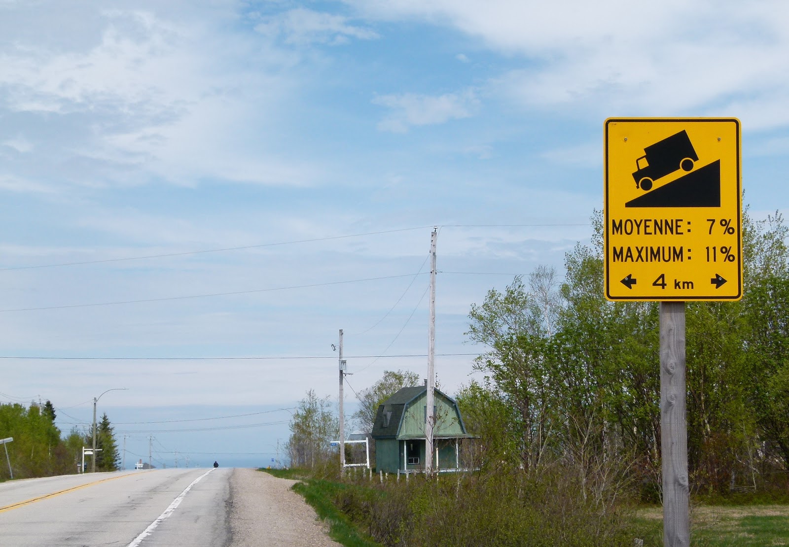
It was a short ride to Saint-Siméon and a fun one. Yes we did have to work on those hill climbs but a good tail wind of 15 km/h actually made it very enjoyable. There is a wide shoulder as you can see in the picture above and most vehicles changed lanes to remain far away from us. Once in a while a large truck would come along side us but at relatively low speed as they to had to climb the hill.

A very confusing sign. We are have been heading EAST for the last
11 days, yet the sign says "WEST". What to do?

Very low clouds moving over the Saint Lawrence towards the Charlevoix shores

Seabirds along side 

Steaming away from Saint-Siméon towards Rivière-du-Loup

Home at Camping du Quai, Rivière-du-Loup
Forecast for tomorrow is mainly cloudy with some rain early in the morning and again late afternoon. Once again we will have the benefit of a tail wind,


39.21 miles - Total so far 461.55 miles

Tuesday, May 30, 2017

Day 10 - Pointe-au-Pic to La Malbaie

7.6 km - Total so far 679.7 km


RWGPS:  https://ridewithgps.com/trips/14941468
Relive: No relive since we did not pedal at least 10 kms

See the 'Where we are map' at the bottom of the page

After nine days of pedalling with most days heading into a northeasterly wind, we decided to take a day off. As soon as we left the campground this morning, we realized what a wise decision we made stopping when we did. From the campground, we dropped from 250 metres in altitude to 9 metres in the space of three kilometres. The descents were very steep with most rated at 10% and two at 15% and winding. That would have been a scream on our road bicycles but on loaded touring bikes with trailers, not so.


Campground with a "window" on the Saint Lawrence River

The view as we started our decent to La Malbaie
 (where the tree line and near sea shore meet on the left)

In La Malbaie we made a quick stop at the park by the river. We were approached by a couple who asked if we were climbing the hill outside Baie St Paul yesterday, 'Yes, that was us', I quickly replied. They brought up how hard it must have been to climb the hill at Ste-Irénée (starts at km 34 on Day 9 - RWGPS).

Hélène decided it was time to make her first stop at the 'Visitor Information Office' for this trip. You will remember how much she enjoyed terrorizing the people behind the counter on our first trip, It did not happen this time. The office was staffed by two very knowledgeable people who answered each of our questions about the local area and even ones about St-John's, Newfoundland. Turns out the young lady lived in St-John's for one year.

When I enquired about the route to St-Simeon and asked if we would encounter another climb like Ste-Irénée, the gentleman bowed his head and mumbled an answer. He looked up and said no but stated that there is a nice climb at St-Fidèle. 

We found out from the locals that no one likes the hill at Ste-Irénée as it is very steep, very narrow road, a sharp 90-degree turn and vehicles get awful close to each other. I can't for the life of me figure out how they manage that hill in the winter.

Within minutes of checking into the hotel, it started raining very hard, We even saw a guy building a very large boat. It is still raining and we hope it stops soon so we can go for a walk, It will be nice to have a walk that does not involve pushing our bikes uphill.

It did finally stop raining so out the door we went.


Daniel being led by three of the local tourist guides.

Significant buildings outline painted on the wall.
The tree has the name and a description of the buildings.

Looks like a painted waterfall but is actually
 efflorescence from the cement

The park close to the Visitor Information Centre

Hélène relaxing inside the Laure Conan Library, La Malbaie 
(The library itself)


4.72 miles - Total so far 422.35 miles


Monday, May 29, 2017

Day 09 - Baie St-Paul to Pointe au Pic

42.2 km - Total so far 672.10 km 


RWGPS: https://ridewithgps.com/trips/14926273

Today was by far the most difficult 42 km either of us had ever pedalled. I can understand why 'Le Chemin du Fleuve (Hwy 362)' is not very popular with cyclists. There is a very long and steep climb just out of Baie St-Paul and the pattern repeats itself for the next 42 km. Some climbs were so step we had to push the bikes up the hill. This happened quite often.

It was overcast and raining a bit when we left but the sun started to shine by the time we got to the village of Les Eboulements around 12:30, It took us nearly 4:30 hours to do 19 km. We did stop a few times to chat with people but still it was a pretty slow grind.

Baie St-Paul is very picturesque and a well known artist gathering spot.
Many of the Group of Seven spent their summers here.


Hélène adjusting her wardrobe after the warm-up to the first of many long steep climbs

I look a little up tight because I had to push my bike for the last bit of the hill.
Hélène 'The Machine' pedalled all the way up

We enjoyed a nice chat with 'Martin' as we were recovering
 from  this long climb. 


What goes down the hill has to come up the other side. 


The Village of Les Eboulements. Our route took us past
the church and over the hill.

Resting the forearms and steadying the nerves for
the next bit of downhill

One of the bikes having a well deserved rest

Today was a tough day. We did not make it to La Malbaie because we were exhausted and where fortunate enough to stumble on a campground. The sign said closed but the owner must have felt obliged to help out the two tired cyclists. We are glad he did.

We had to cancel the line dancing we had planned for this evening.


26.22 miles - Total so far 417.62 miles